Rail TravelMap ReadingLocal HistoryTrain JourneysSlow TravelRoute Planning
Keep a Milepost Log With a Pencil
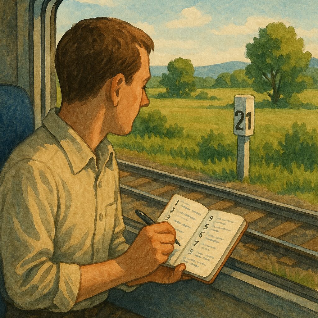
Grab the operator's route map if it's posted in the carriage, or pull up a rail layer on your phone before the train enters a cut and loses signal. Then start a low-tech log: each time you pass a milepost, write the number and the nearest human clue—a footbridge packed with bicycles, a hand-painted sign. You don't need every milepost; five to eight notes over an hour is plenty. The log is a rhythm, not a record. Where the numbers tick by with nothing attached, the line is just crossing land. Where a milepost coincides with a cluster of manmade stuff, you've found a seam in the landscape. A pencil is the right tool because it never needs charging and works in a shaking carriage. The specific clues matter: a footbridge packed with bicycles suggests a school route or a station approach; a hand-painted sign may advertise a fair or a civic club. Over an hour, five to eight such notes give you enough data to see where activity clusters.
Read the Spacing Between Mileposts
A simplified railway map can make stations look evenly spaced, but a more detailed map shows the truth: long stretches of track with just one small station along them. That station may serve a nearby village, a community facility, or a local attraction. The milepost numbers tell you when you are in empty land versus when you are approaching a busier patch. If the numbers keep coming and the scenery suddenly adds repeated manmade structures in a tight cluster, you're near a community's edge. When that cluster sits next to a minor stop, it is a clue worth acting on. Check the area around the station—what is within walking distance? A single station on a long stretch often marks the only convenient point for miles. The distance between mileposts, combined with the station's location, separates a place you should stop from a place where the train is just passing through.
Station Names That End in Junction or Wye
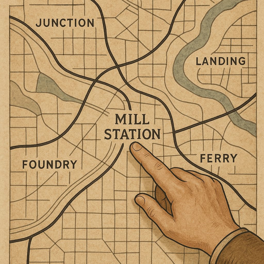
Station names carry history. "Junction" and "Wye" are rail geometry terms—a junction is where lines meet, a wye is a triangular track arrangement. A stop named after either means the railway shaped the town, not the other way around. Those communities tend to have a depot or a preserved locomotive as a centerpiece. "Landing" and "Ferry" point to river logistics that predate the tracks. Towns with those names often still hold boat parades or blessing-of-the-fleet weekends, echoing the water route that brought people and goods. Reading these words as clues, not just labels, tells you whether to look for rail heritage or river heritage. When you see a name that sounds like an industry, a water crossing, or a rail geometry term, take it as an invitation to dig into the map around the stop. The distinction matters because a junction town grew around the rail yard, while a landing town grew around the dock—two entirely different layouts.
Industrial Names: Mill, Works, Foundry
"Mill," "Works," and "Foundry" in a station name are markers of industrial history. A mill needed waterpower, so the original town was built where a stream could turn the wheel. Works and foundry mean metalworking or heavy manufacturing, often with a rail spur to bring in coal and take out finished goods. On older railway maps, those names survive even after the plant closes. Check the surrounding area for evidence: a former industrial site, a railway spur, a museum, or a historic feature that still shows the old layout. The spur is the strongest clue—it tells you the railroad's route was dictated by the plant, not by the town. If the name says "Foundry" and the current street map shows a parking lot where the foundry stood, you have found a layer of history most travelers miss. A quick walk around the block may reveal a converted factory building now doing a new job.
Compare Current Station Names to Older Map Labels
Take out a current route map and an older railway map of the same line. When a station name differs between the two, the older label often preserves a detail the newer one erased. The old name may refer to a former industry, a waterway, a crossing, or a nearby community that has since changed. That contrast is a clue. Check the surrounding streets and community buildings for connections: a street that keeps the old name, a church with the same historic title, a civic association that still celebrates the water crossing. You don't need specialist knowledge of place names. The comparison of names is the method. A station renamed from something related to a water crossing to a simple village name loses visible history, but the older map restores it. This works best in places where one map is digital and the other is printed—the physical map preserves the old label.
The Three-Feature Map Check
Three map features, when they cluster near a station, can reveal a town's local character. First, an old right-of-way that doesn't match today's main line—a curved street, a rail-trail, or a line of utility poles following a different route—shows where the railroad once went. Second, a cluster of civic buildings (VFW hall, firehouse, school) marks the original town center and the focus of community gatherings. Third, an open rectangle that looks like fairgrounds or ballfields indicates a scheduled assembly place. When several of these appear together, they point toward the places and events that give the town its identity. The checks require no specialized knowledge—just a map and a willingness to look for these three shapes. The old right-of-way explains the railroad's former role; the civic cluster anchors the present-day community; the open rectangle tells you where activity is scheduled.
Draw a Strip Map as You Ride
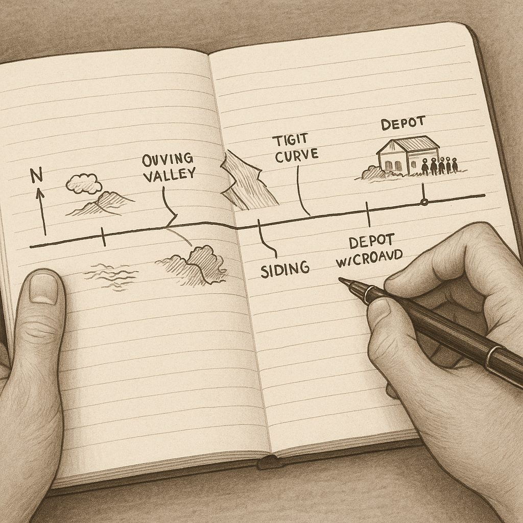
Draw a strip map of your route: a long, dumb rectangle that represents the line, with each station marked. As you travel, add rivers, valleys, industrial sites, historic buildings, and any other landmark you can identify from the train. The drawing forces you to observe. After the ride, compare your sketch with a topographic map or a rail diagram that shows sidings and old alignments. A siding—a short secondary track—is a key feature. When your sketch shows a crowd of activity near a siding, and the map shows that siding pointing toward fairgrounds or a river landing, you know it's worth hopping off for an hour. The comparison turns a train ride into a field exercise. You don't need an app; a pencil and a blank page are enough. The strip map is your own record of what caught your eye, independent of any guidebook.
Why the Tiny Stop Beats the Scenic Overlook
The payoff of keeping a milepost log, reading station names, and drawing a strip sketch is understanding why one tiny stop has more energy than the big scenic overlook everyone came to photograph. The overlook offers a view; the tiny stop offers a landing, a local event, or a ballfield. When your sketch shows a cluster of buildings near a minor station, and the rail diagram confirms a siding pointing toward an event site, the evidence tells you where to get off. If you don't get off, you still end the day with a personal map that explains the community's layout. You can trace the abandoned alignment, the civic buildings, and the open rectangle on your sketch. That map is a record of what you noticed, not what a guidebook said to notice. It turns a passive ride into an active survey.